This is a spectacular hike along and through a year
around free flowing stream that has carved a deep, 10 mile
long canyon through the Galiuro Mountains. The hike is
particularly beautiful when the cottonwood trees are turning
in fall (November) and again after the spring green up in mid
March. Numerous side canyons offer even more
opportunities for exploration.
This hike is in a Wilderness
Area and the Bureau of Land Management (BLM) requires a
permit to enter the area and limits the number of hikers that
can enter each day. Thus, hikers need to call
(928-348-4400) the Safford Office of the BLM to request
a permit prior to hiking the canyon. Permits for Friday
through Sunday can be difficult to get unless one schedules
well in advance. Weekdays are not as difficult.
The hike that I took on 3 March 2014 was recorded with
my cell phone GPS app called View Ranger. The GPS
indicated that I traveled 5.17 miles to the point where I
could see the Hell Hole. I returned by the same route
and so my total distance would be a little more than 10 miles
during the 6 hour hike. However, down in the canyon GPS
readings can be "iffy" and I have less confidence in these
readings than I normally do when using this GPS app. For
instance, look at the indicated travel
up into Hell Hole Canyon. The GPS readings show me
climbing up and down the canyon walls. This definitely
did not happen. The readings are better in the much
wider main part of the canyon, but even there they are not
perfect.
Due to the remote nature of this hike and to the ever
present water there is abundant
wildlife in Aravaipa Canyon including Bighorn Sheep and
Whitetail Deer. Unlike seasonal streams, Aravaipa Creek
has a resident fish population and along with the fish, a
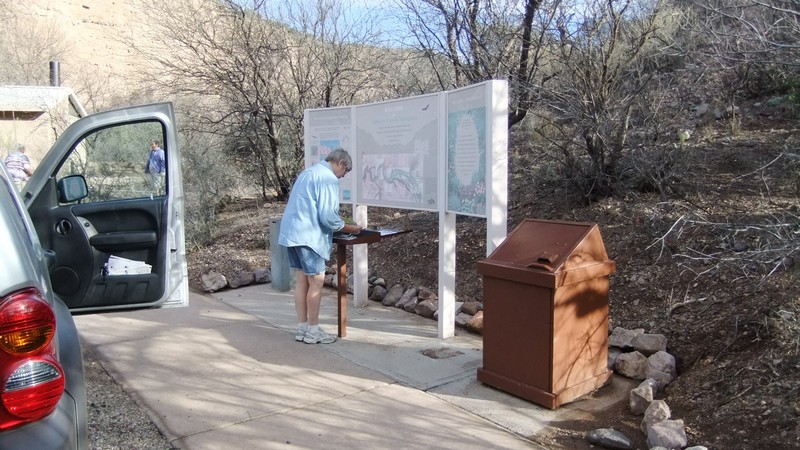
resident populations of fish eating herons. A sign at
the BLM Sign In Station details some of the wildlife that can
be seen in the canyon.
Besides requiring a permit, this hike also requires
that one has a high clearance vehicle capable of driving through a stream
about 10 times. Some of these crossings requiring
driving through water as much a foot deep. Also, once
one starts hiking, one finds that the trail crosses the stream
repeatedly requiring hikers
to wade across or down the stream. During a recent
hike in Aravaipa Canyon I estimate that I waded the stream at
least 40 times. Sometimes the streambed is sandy and
sometimes the streambed is rocky and slippery. Hiking poles can help
while crossing the stream. One should come prepared with
footgear that is comfortable but able to withstand thorough
soaking.
There is a Pit
Toilet at the BLM
Wilderness Area Sign In for this hike. There are
no toilet facilities at the actual trailhead at the Turkey
Creek junction.